An old open pit gold mine filled up with water.


Try to line up the mega tectonics that gave rise to the (in large scale) elluvial gold of the Yuk Territory.

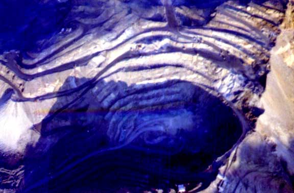
Asbestos Mine at Cassiar, Northern B.C. Looking into the open pit. Asbestos is a sign of greenschist alteration, related to the temperatures we would like to see for gold deposition.
"CASSIAR GOLD RUSH
The prospect of quick riches lured hundreds of placer miners to the Cassiar, where gold was discovered first at Dease Creek in 1872. Rich claims were later found at Thibert Creek, and here at McDame Creek. From this creek in 1877 a 72-ounce solid gold nugget was recovered - the largest recorded to date in British Columbia. By 1878 much of the gold had been recovered and the fortune seekers moved on."
The Yukon Plateau North includes the Stewart, Macmillan and Pelly plateaus, and the south Selwyn Mountains. The terrain includes rolling uplands, small mountain groups, and level tablelands dissected by deeply-cut, generally broad, U-shaped valleys. The Tintina Trench, a steep-sided valley, traverses the ecoregion. The communities of Keno, Elsa, Mayo, Faro and Ross River are included in this ecoregion.

 |


