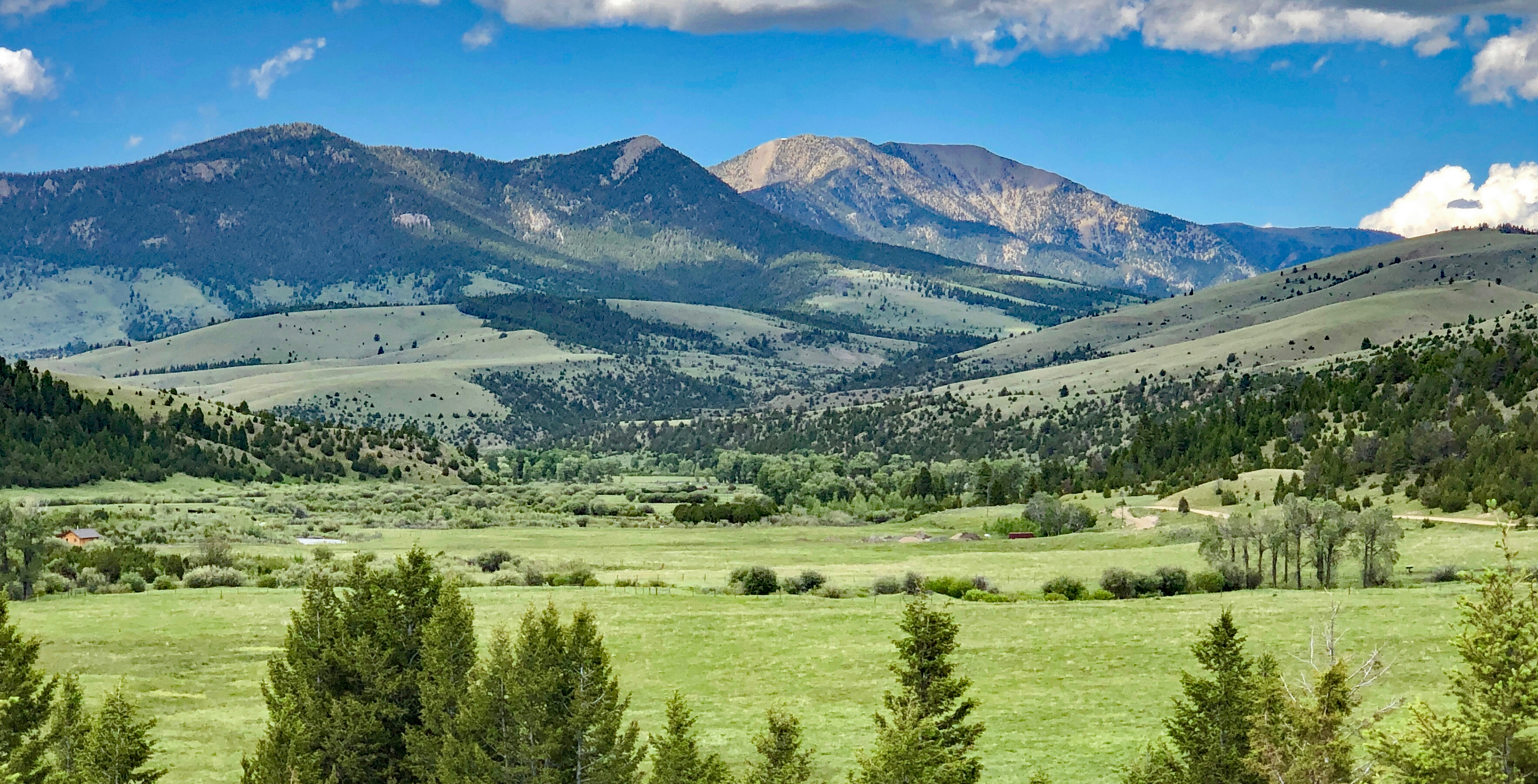
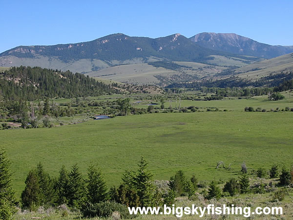
I am right now heading with friends to the Ruby River upper valley in Montana
to recreate & live outdoors by primitive camping until at least July 21 ...
the June full moon rise was " something else " in this same location, as
was the moon rise several days later on summer solstice day June 21 a few days ago ...
several moments following the summer solstice sunrise event
on June 21 our dog and I climbed a decent size small rounded peak and
about 90 minutes later when checking what animals were in our view as
we planned to descend a mother grizzly with a cub was starting her ascent
of the same slope, so avoiding interacting with them required choosing
a downhill route on the peak out of sight of the bears
the 5 hours following our day's start of activity at 3:30 a.m. on June 21
stands out as a memorable time filled with awe of nature and the wonder
of simple outdoor experiences
fyi - during the last three weeks, I have kept a count of wild flower species
in the Ruby River drainage and in the Gravelly mtn range or in the Snowcrest
mtn range which border the very narrow river valley ...
current count is 338 distinct species
of wild flowers have been identified during this 3-week period
Beaverhead County, Montana, population 9,360, contains portions of nine mountain ranges.
The Pioneer and Anaconda ranges in the north, the Centennial and Tendoy Mountains in the southwest,
the Blacktail, Ruby, Snowcrest and Gravelly Ranges in the southeast,
and the Beaverhead Mountains in the west and southwest.
Major Rivers include the Big Hole, the Beaverhead and the Red Rock.
Land ownership is roughly 68 percent public, most of which is
Forest Service or Bureau of Land Management, and 31 percent private.
There is a very limited amount of cropland in the county.
The primary land use for tilled acreage is pasture or hayland,
with some dryland grain and irrigated potato acreages.
Subirrigated meadows are used for wintering cattle and for early spring grazing. |


