| | | January 13, 2020 by Robert
Taal is a GSM activated Volcano
J.H. Walker
–“Should the crater collapse and the lake empty into the magma chamber the resulting explosion would make Kraotoa a firecracker in comparison.”–
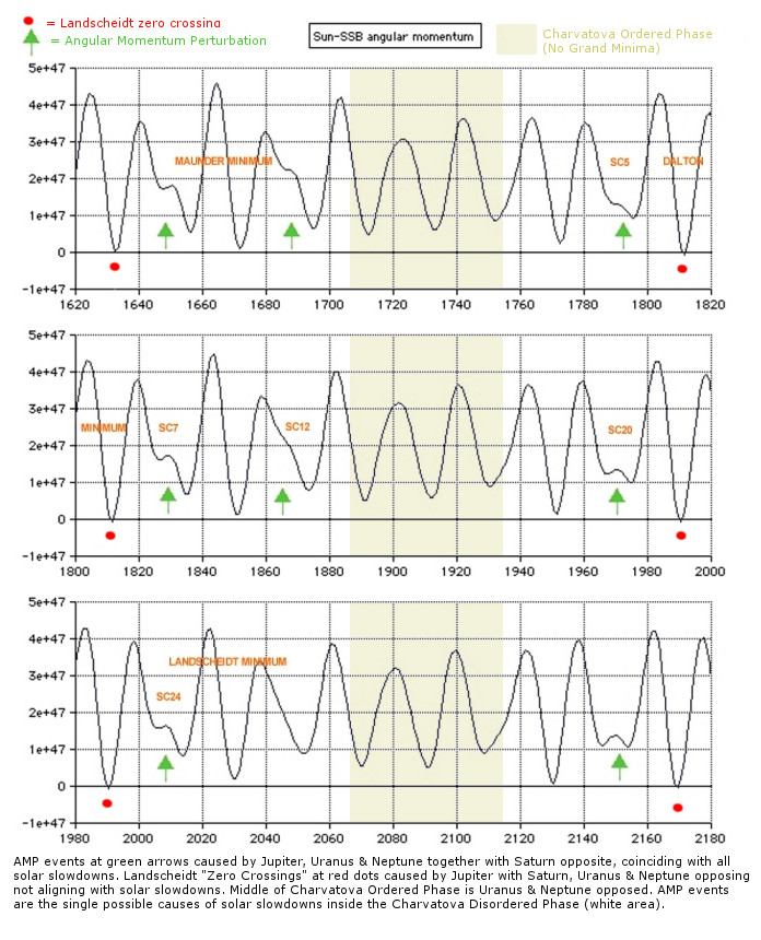
This volcano has erupted many times during the high AM (Angular Momentum) periods of the Sun Trefoil Orbit around the Solar System Barry Centre during a Grand Solar Minimum (GSM). An example are the linking dates though the SC20 period of high AM phase of the Cool period, and the similar events during the Gleissberg period Solar Cycles of SC12,13,14.
It has erupted during the gap between Spoorer and Maunder, during the Maunder period, during the Gleissberg period between Maunder and Dalton, during Dalton. It is a GSM activated Volcano, and even more dangerous that it is in the middle of a massive lake.
Should the crater collapse and the lake empty into the magma chamber the resulting explosion would make Kraotoa a firecracker in comparison.
Here are Wikipedia entries about the Taal Volcano
There have been 33 recorded eruptions at Taal since 1572.
en.wikipedia.org
The first eruption of which there is any record occurred in 1572, the year the Augustinian friars founded the town of Taal on the shores of the lake (on what is now San Nicolas, Batangas). In 1591, another mild eruption took place, featuring great masses of smoke issuing forth from the crater. From 1605 to 1611, the volcano displayed such great activity that Father Torna de Abreu had a huge cross of anubing wood erected on the brink of the crater.[29]
The dormant Binintiang Malaki (Big Leg) cone was the center of the 1707 and 1715 eruptions
Between 1707 and 1731, the centre of activity shifted from the Main Crater to other parts of Volcano Island.
The eruptions of 1707 and 1715 occurred in Binitiang Malaki crater (the cinder cone visible from Tagaytay City). Minor eruptions also emanated from the Binintiang Munti crater on the westernmost tip of the island in 1709 and 1729.
A more violent event happened on September 24, 1716, when the whole south eastern portion of the crater of (Calauit), opposite Mount Macolod, was blown out. The 1731 eruption off Pira-Piraso, or the eastern tip of the island, created a new island.[30] No studies have been done to determine whether Napayon or Bubuin Island was formed in the eruption, or just a pumice raft.
Activity returned to the Main Crater in 1749, and it was remembered for being particularly violent (VEI = 4). Then came the great 200-day eruption of 1754, the greatest eruption of Taal.
Taal remained quiet for 54 years except for a minor eruption in 1790. Not until March 1808 did another big eruption occur. While this outbreak was not as violent as the one in 1754, the immediate vicinity was covered with ashes to a depth of 84 centimetres (33 in). It brought great changes in the interior of the crater, according to chroniclers of that time. “Before, the bottom looked very deep and seemed unfathomable, but at the bottom, a liquid mass was seen in continual ebullition. After the eruption, the crater had widened and the pond within it had been reduced to one-third and the rest of the crater floor was higher and dry enough to walk over it. The height of the crater walls has diminished and near the center of the new crater floor, a little hill that continually emitted smoke. On its sides were several wells, one of which was especially remarkable for its size.”
en.wikipedia.org
On July 19, 1874, an eruption of gases and ashes killed all the livestock on the island. From November 12–15, 1878, ashes ejected by the volcano covered the entire island. Another eruption took place in 1904, which formed a new outlet in the south eastern wall of the principal crater. As of 12 January 2020 the last eruption from the Main Crater was in 1911, which obliterated the crater floor creating the present lake. In 1965, a huge explosion sliced off a huge part of the island, moving activity to a new eruption centre, Mount Tabaro. Eruptions were also recorded in 1634, 1635, 1641, 1645, 1790, 1825, 1842, 1873, 1885, 1903, 1966, 1967, 1968, 1969, 1970, 1976 and 1977.[28][31] Some of the major eruptions are described below: continues in WiKi
__________
J.H. adds this comment: In looking at the eruptive data Taal is an ideal candidate for a massive GSM T6/T7 eruption which would mask the effects of this ongoing Grand Solar Minimum.
 |
|


